
Illegal logging and the clearing of land for farming and palm oil cultivation are causing widespread devastation and deforestation across rainforests, particularly in Borneo and the Amazon.
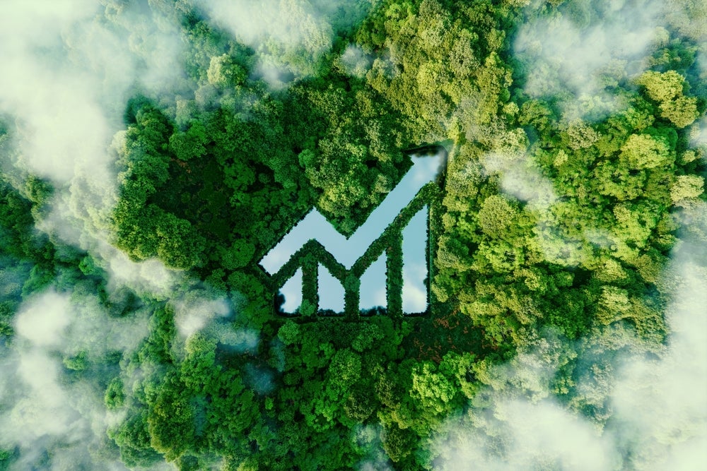
However, artificial intelligence (AI) modelling of satellite imagery is now allowing local authorities to predict the location of deforestation and preserve rainforests.
Deforestation is not slowing down
Between 2021 and 2022, there was a 4% increase in land lost to deforestation globally, with 6.6 million hectares being deforested according to the Forest Declaration Assessment. Forests are a crucial part of the health of the planet as they provide clean air and act as habitats for millions of animals and humans. They are also a key resource in slowing climate change.
Dense forests like the Amazon can become carbon sinks and sequester large amounts of the atmosphere’s carbon, and the WWF estimates that deforestation is the second largest source of global greenhouse gas emissions. Therefore, preventing illegal and unsustainable forest degradation is a crucial action in slowing climate change.
COP26 in 2021 saw 100 countries sign a pledge to halt and reverse deforestation and land degradation by 2030. Steps have been made towards reaching this pledge, with Colombia reporting the lowest levels of deforestation in 23 years. However, the level of illegal deforestation still occurring across the world is limiting progress.
PrevisAI aims to save rainforests
PrevisAI, an AI-supported platform from environmental NGO Imazon, has been successful in predicting the areas most at risk of deforestation. The idea of short-term predictions first emerged in 2016, when researchers analysed satellite imagery that showed the level of destruction before and after rainforest deforestation.
How well do you really know your competitors?
Access the most comprehensive Company Profiles on the market, powered by GlobalData. Save hours of research. Gain competitive edge.

Thank you!
Your download email will arrive shortly
Not ready to buy yet? Download a free sample
We are confident about the unique quality of our Company Profiles. However, we want you to make the most beneficial decision for your business, so we offer a free sample that you can download by submitting the below form
By GlobalDataSatellite data is analysed using AI-supported algorithms to pick up the construction of illegal roads and pathways through forests, which indicates that illegal logging is imminent. The use of AI has decreased analysis time by two-thirds, speeding up predictions and allowing a higher rate of successful prevention.
Making partnerships with local authorities
Pilot studies of the deforestation warning system have been trialed in Malaysia, Indonesia, Gabon, and Guyana, allowing environmental NGOs to lay the groundwork for rainforest preservation and support governments in their deforestation reduction targets.
Early warning systems are coming in the form of a visualised web app, available to local governments, which allows for targeted intervention. Local authorities and environment employees can be forwarded alerts of logging roads being constructed. Drones are then used for secondary verification before forest rangers go in to prevent further illegal logging.
AI use in monitoring reforestation as well as deforestation
Nestlé has begun deploying satellites to monitor reforestation projects in Thailand to ensure that replanting efforts remain intact. Nestlé has also been working with Starling, a co-creation of Airbus that provides monitoring technology for infrastructure related to illegal logging.
This includes monitoring palm plantations and mills and allows Nestlé to engage with its supply chains and develop action plans to reduce deforestation and protect efforts in biodiversity restoration. Integrating AI into satellite monitoring of rainforests allows for reduced analysis time and provides increased action to prevent deforestation.
The development of deforestation detection and early warning systems has already been shown to be viable options and expansion of the technology will in time prevent forest loss and help the world meet its COP pledges.


Related Company Profiles
Starling Bank Ltd
Airbus SE